Located between Grant Park at Hawthorne Avenue and Rawson Avenue
| Historic Name: | Oak Creek Parkway |
|---|---|
| Reference Number: | 11000416 |
| Location (Address): | Located between Grant Park at Hawthorne Avenue and Rawson Avenue |
|---|---|
| County: | Milwaukee |
| City/Village: | South Milwaukee |
| Township: |
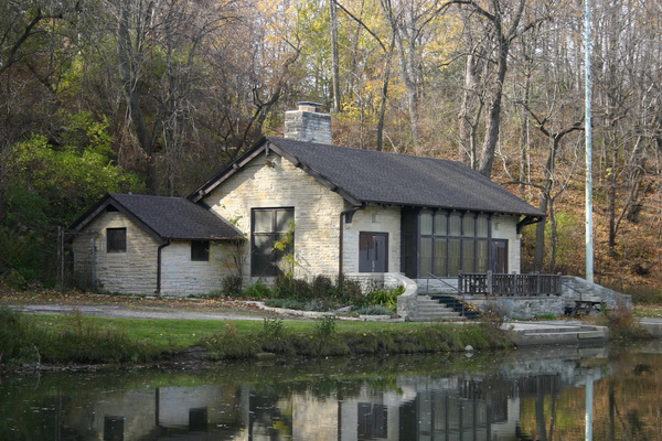
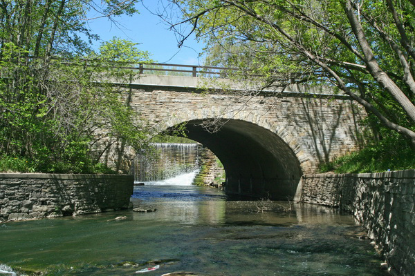
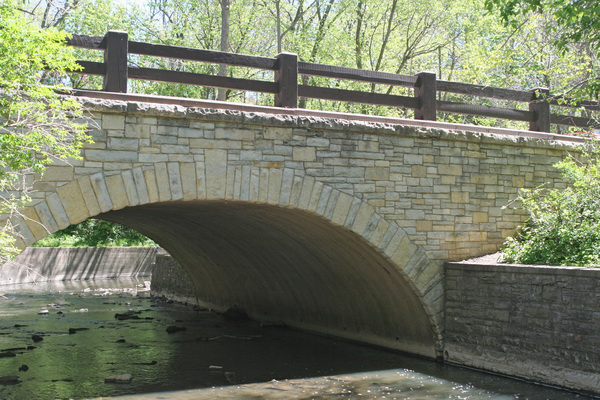
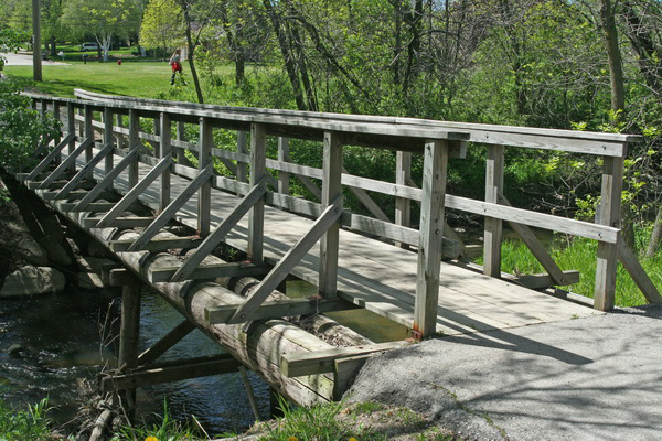
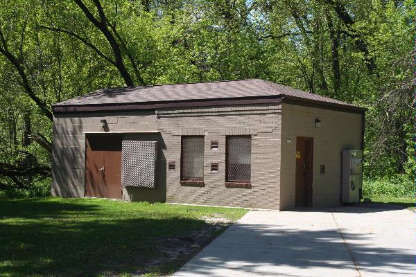
| Oak Creek Parkway Located between Grant Park at Hawthorne Avenue and Rawson Avenue South Milwaukee, Milwaukee County Architect: Alfred Boerner Dates of construction of contributing resources: 1890-1945 The Oak Creek Parkway is located in southeastern Milwaukee County. As part of the Milwaukee County parkway system, it follows Oak Creek from its confluence with Lake Michigan at Grant Park northwest through the city of South Milwaukee to 15th Avenue, where it heads south to Rawson Avenue . Charles B. Whitnall included Oak Creek Parkway in his 1923 study of a county-wide parkway system, promoting the health and aesthetic benefits of urban parklands. Alfred Boerner, a Milwaukee County landscape architect and Wisconsin native, was instrumental in drawing up the plans. However, work on the Parkway was not implemented until 1930 when federal work relief efforts made development possible; during 1931 and 1932, Milwaukee County Department of Outdoor Relief (DOR) workers laid more than one mile of macadam pavement from Grant Park to North Chicago Avenue. Civilian Conservation Corps (CCC) and Works Progress Administration (WPA) labor was responsible for creek relocation and widening, road grading, bridge and road construction, and landscaping. The Oak Creek Parkway includes bridges and buildings, as well as several landscape features such as retaining walls, which are part of the overall site. The integrity of the property has been well maintained, and the Parkway remains historically intact. It is a strong example of parkway design, and serves as a reminder of automobile culture and recreation, as well as community development, from early twentieth century Milwaukee County.
|
| Period of Significance: | 1931-1960 |
|---|---|
| Area of Significance: | Community Planning And Development |
| Applicable Criteria: | Event |
| Applicable Criteria: | Architecture/Engineering |
| Historic Use: | Recreation And Culture: Outdoor Recreation |
| Historic Use: | Landscape: Park |
| Historic Use: | Transportation: Road-Related |
| Architectural Style: | Other |
| Resource Type: | District |
| Architect: | Boerner, Alfred |
| Historic Status: | Listed in the National Register |
|---|---|
| Historic Status: | Listed in the State Register |
| National Register Listing Date: | 06/27/2011 |
| State Register Listing Date: | 08/20/2010 |
| Number of Contributing Buildings: | 2 |
|---|---|
| Number of Contributing Sites: | 1 |
| Number of Contributing Structures: | 7 |
| Number of Contributing Objects: | 0 |
| Number of Non-Contributing Sites: | 1 |
| Number of Non-Contributing Structures: | 7 |
| Number of Non-Contributing Objects: | 0 |
| National Register and State Register of Historic Places, State Historic Preservation Office, Wisconsin Historical Society, Madison, Wisconsin |