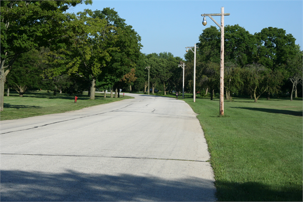
Located between West Layton Avenue and South 76th Street | National or State Registers Record | Wisconsin Historical Society

National or State Registers Record

Located between West Layton Avenue and South 76th Street

National or State Register of Historic Places
Located between West Layton Avenue and South 76th Street | National or State Registers Record | Wisconsin Historical Society
NAMES
Historic Name:Root River Parkway
Reference Number:12001253
PROPERTY LOCATION
Location (Address):Located between West Layton Avenue and South 76th Street
County:Milwaukee
City/Village:GreendaleHales CornersFranklinGreenfield
Township:
SUMMARY
Root River Parkway
Located between West Layton Avenue and South 76th Street, Franklin, Greendale, Greenfield, and Hales Corners, Milwaukee County
Designer: Alfred Boerner

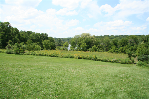
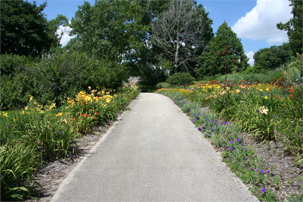
The Root River Parkway is located in southwestern Milwaukee County and includes Whitnall Park, which is comprised of two significant sites – the Boerner Botanical Garden and Arboretum and Whitnall Golf Course.

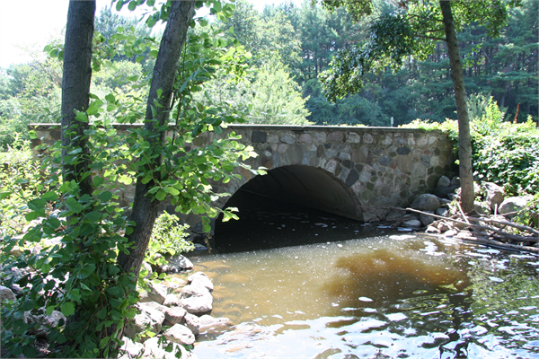
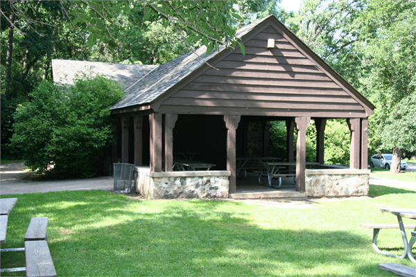
Charles B. Whitnall included the Root River Parkway in his 1923 study of a county-wide parkway system. Alfred Boerner, a Milwaukee County landscape architect and Wisconsin native, was instrumental in designing the Parkway and its units, including the Boerner Botanical Gardens and Arboretum. George Hansen, Milwaukee County Park superintendent, designed the Whitnall Park Golf Course, which was implemented with work relief labor beginning in 1931. The Root River Parkway was profoundly influenced by federally-funded work relief efforts, with laborers the Civilian Conservation Corps (CCC), Works Progress Administration (WPA), Department of Outdoor Relief (DOR), National Youth Administration (NYA), and Civil Works Administration (CWA) performing work throughout the Parkway, Whitnall Park, the botanical garden and arboretum, and Whitnall Park Golf Course.

This segment of Parkway has been well maintained, and the Parkway remains historically intact. It is a strong example of parkway, park, and golf course design, and serves as a reminder of automobile culture and recreation, federal work relief efforts during the Depression era, and community development in early twentieth century Milwaukee County.

PROPERTY FEATURES
Period of Significance:1931-1960
Area of Significance:Community Planning And Development
Area of Significance:Landscape Architecture
Applicable Criteria:Architecture/Engineering
Applicable Criteria:Event
Historic Use:Transportation: Road-Related
Historic Use:Landscape: Park
Historic Use:Recreation And Culture: Work Of Art (Sculpture, Carving, Rock Art)
Historic Use:Recreation And Culture: Outdoor Recreation
Resource Type:District
Architect:Boerner, Alfred
Architect:Spinti, George
Architect:Hansen, George
DESIGNATIONS
Historic Status:Listed in the National Register
Historic Status:Listed in the State Register
National Register Listing Date:01/29/2013
State Register Listing Date:08/19/2011
NUMBER OF RESOURCES WITHIN PROPERTY
Number of Contributing Buildings:14
Number of Contributing Sites:4
Number of Contributing Structures:16
Number of Contributing Objects:3
Number of Non-Contributing Sites:4
Number of Non-Contributing Structures:16
Number of Non-Contributing Objects:0
RECORD LOCATION
National Register and State Register of Historic Places, State Historic Preservation Office, Wisconsin Historical Society, Madison, Wisconsin

How to Cite

For the purposes of a bibliography entry or footnote, follow this model:

National Register of Historic Places Citation
National Register of Historic Places, "Historic Name", "Town", "County", "State", "Reference Number".

Have Questions?

If you didn't find the National Register listing you were looking for or have other questions about the National Register, please email us and we can help: