Wisconsin Historical Society Press
About Us
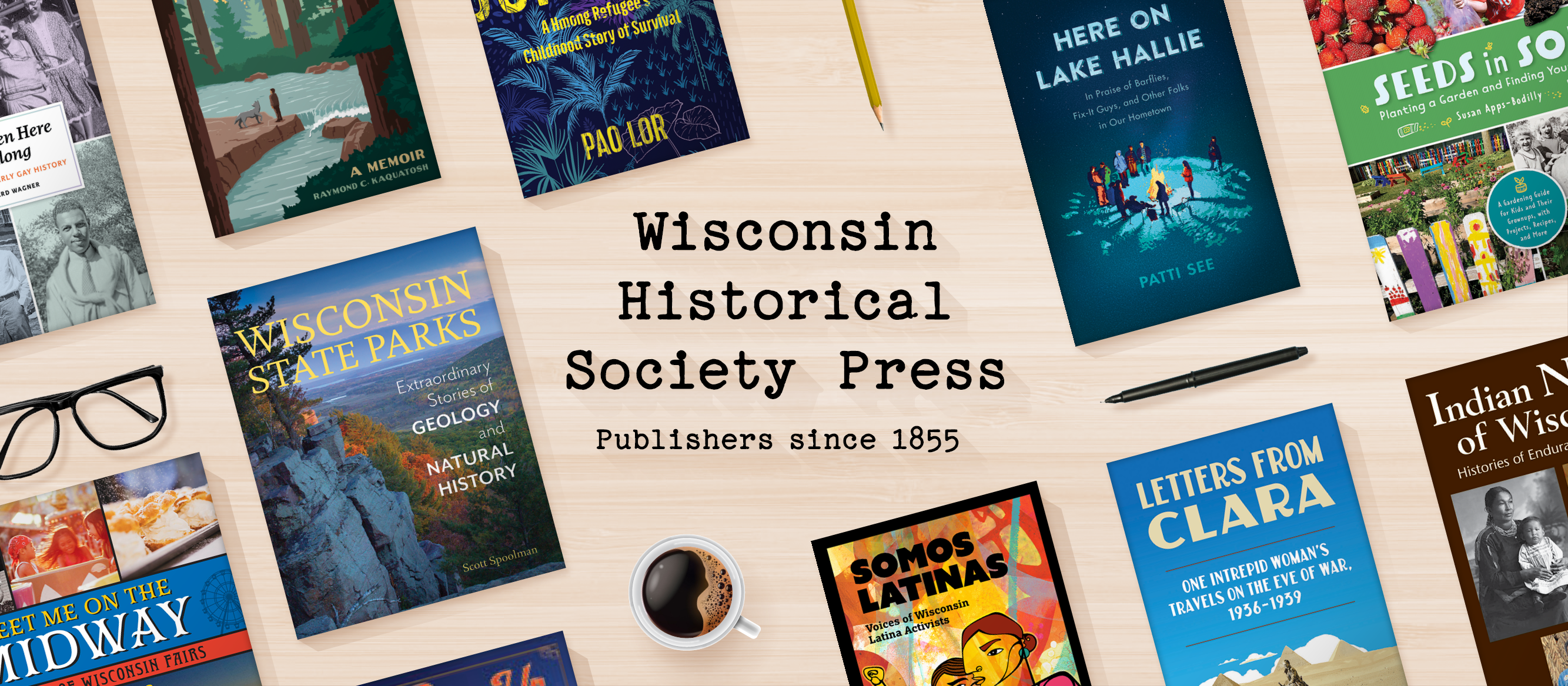
Since publishing our first book in 1855, the Wisconsin Historical Society Press has connected people to the past while illuminating the relevance of history in our lives today. Our books and articles share a diverse range of voices and stories, engaging readers of all ages in exploring the past, understanding the present, and shaping the future.
Our Catalog

An excerpt from Wisconsin for Kennedy: The Primary that Launched a President and Changed the Course of History, by B.J. Hollars:
Shortly before she arrived at the American Legion Hall, Jackie had stopped inside a local Kenosha supermarket. As she watched the shoppers meander the aisles, she was suddenly struck by an idea. She had a captive audience, she realized, so why not make the most of it?
Strolling toward the microphone for the store’s loudspeaker system, Jackie asked the manager if she might say a few words to the shoppers. The manager, who’d surely never received such a request, handed over the mic without question. Jackie thanked him, smiled, cleared her throat, and began.
Read More


Wisconsin Magazine of History
The quarterly magazine of the Wisconsin Historical Society
Since its first issue, in 1917, the Wisconsin Magazine of History has informed and engaged readers with intriguing articles about the people, places, and events of Wisconsin's past. Available in print and digital editions, the Wisconsin Magazine of History is a benefit of membership in the Wisconsin Historical Society.
Learn More