| Date: | 1844 |
|---|---|
| Description: | Map of Wisconsin including Lakes Michigan and Superior. Inset includes "N.W. Part of Wiskonsan." |

| Date: | 1844 |
|---|---|
| Description: | North American Indians on horseback during a buffalo hunt. "In [this plate], I have represented a party of Indians in chase of a herd, some of whom are pur... |

| Date: | 1844 |
|---|---|
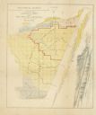
| Description: | A hand-colored map and chart showing a geological cross-section from Rockingham, in present-day Scott County, Iowa, through Blue Mounds to the Wisconsin Ri... |

| Date: | 1844 |
|---|---|
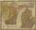
| Description: | Wisconsin was considered part of Michigan Territory until 1836, a year before Michigan entered statehood. Drawn four years before Wisconsin entered stateho... |

| Date: | 1844 |
|---|---|
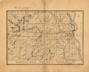
| Description: | An ink on paper, hand-drawn map of Milwaukee County that shows the sectioning of townships, the boundary of the canal grant, roads, streams, lakes, includi... |
If you didn't find the material you searched for, our Library Reference Staff can help.
Call our reference desk at 608-264-6535 or email us at: