
| Date: | 1891 |
|---|---|
| Description: | This map shows vacant Southwick & Sellers lands, settlers' houses, Goodland Co. land, schools, churches, saw mills, roads, and railroads. A key in the uppe... |

| Date: | 1909 |
|---|---|
| Description: | This map shows vacant Wisconsin Central Ry. lands, settlers houses, lands sold by Wisconsin Central Ry., schools, churches, saw mills, and roads; also show... |
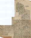
| Date: | 1909 |
|---|---|
| Description: | This map covers Iron and Price Counties and portions of Sawyer and Oneida Counties. The map shows vacant and sold Wis. Central Ry. land, settlers houses, s... |
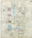
| Date: | 1910 |
|---|---|
| Description: | A Sanborn insurance map of a section of Milwaukee, including East Clybourn and East Buffalo Streets. "Italian Section 3/4/30" is written on the page in blu... |
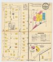
| Date: | 12 1912 |
|---|---|
| Description: | Sanborn map of Sun Prairie, which includes an index and information about water facilities and the fire department. Includes a small inset map of the State... |
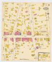
| Date: | 12 1912 |
|---|---|
| Description: | Sanborn map of Sun Prairie, showing Main, Center and Church Streets. |
| Date: | 12 1912 |
|---|---|
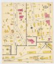
| Description: | Sanborn Map of Sun Prairie. The map highlights the public and parochial schools, the exhange, and church buildings, etc. |

| Date: | 1878 |
|---|---|
| Description: | This lithograph shows two agricultural scenes. The top scene shows a a farm house, barn, outbuildings, and windmill. The buildings are surround by crops an... |

| Date: | 1990 |
|---|---|
| Description: | This map includes two insets: Plat of New Holstein village and Village of Chilton. The map also includes a table of statistics showing the assessed value o... |

| Date: | 1866 |
|---|---|
| Description: | Diagram and seating chart for the Wisconsin State Senate in the second State Capitol Building which burned down in 1904. |

| Date: | 1866 |
|---|---|
| Description: | Diagram and seating chart for the Wisconsin State Assembly in the second State Capitol Building which burned down in 1904.. |
If you didn't find the material you searched for, our Library Reference Staff can help.
Call our reference desk at 608-264-6535 or email us at: