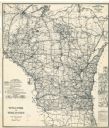
| Date: | 1928 |
|---|---|
| Description: | This map shows the state trunk highway system and county trunk highways. The lower left corner includes a legend of roadway types. Lake Michigan and Lake S... |
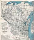
| Date: | 1930 |
|---|---|
| Description: | This map shows the state trunk highway system and county trunk highways. This map show surface type on state and county trunk highways and the locations of... |
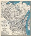
| Date: | 1931 |
|---|---|
| Description: | This map shows the state trunk highway system and county trunk highways. This map show surface type on state and county trunk highways and the locations of... |
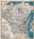
| Date: | 1933 |
|---|---|
| Description: | This map shows the state trunk highway system and county trunk highways. This map show surface type on state and county trunk highways and the locations of... |
| Date: | 1934 |
|---|---|
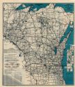
| Description: | This map shows the state trunk highway system and county trunk highways. This map show surface type on state and county trunk highways and the locations of... |
| Date: | 1935 |
|---|---|
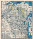
| Description: | This map shows the state trunk highway system and county trunk highways. This map show surface type on state and county trunk highways and the locations of... |
| Date: | 1938 |
|---|---|
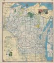
| Description: | This map shows the state trunk highway system and county trunk highways. This map show surface type on state and county trunk highways and the locations of... |

| Date: | 1942 |
|---|---|
| Description: | This map shows surfaces and types of highways. A legend and three county and two local area inset maps are included. The bottom left margin reads: "Traffi... |

| Date: | 1948 |
|---|---|
| Description: | This blue line print map shows highways, the scale of traffic volume, and average 24 hour traffic. Also included are inset maps of Appleton, Neenah, and Me... |

| Date: | 1947 |
|---|---|
| Description: | This map shows territorial roads laid out and opened between 1836 to 1848. Includes a scale in miles. Routes are labeled by numbers and indicated in key on... |

| Date: | 1955 |
|---|---|
| Description: | This map shows roads, trails, county lines, town borders, section lines, railroads, rivers, lakes, and Lake Michigan on the far right. The bottom margin in... |

| Date: | 1938 |
|---|---|
| Description: | This colored road map shows automobile roads in Wisconsin as well as portions of nearby states. Information on the quality and and type of any road shown (... |
| Date: | 1948 |
|---|---|
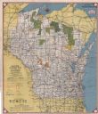
| Description: | This colored road map shows automobile roads in Wisconsin as well as portions of nearby states.Information on the quality and type of any road shown (bitum... |

| Date: | 06 1950 |
|---|---|
| Description: | View across a gently sloping prairie field. Trees are in the distance, and power lines and a road are on the left. The Highway Commission descriptive remar... |
If you didn't find the material you searched for, our Library Reference Staff can help.
Call our reference desk at 608-264-6535 or email us at: